
Whether you’re looking for how to geocode points in ArcGIS Pro or how to create a geocoder in ArcGIS Pro, you will definitely find this post helpful.
Geocoding is an important part of GIS (Geographic Information System) that lets you turn addresses and place names into geographic coordinates that can be used to show the locations on a map. ArcGIS Pro is a powerful desktop GIS program that comes with a variety of geocoding tools for analyzing and displaying spatial data.
In this tutorial, we’ll take a closer look at ArcGIS Pro’s geocoding capabilities and how you can use them to geocode addresses and place names.
Getting Started with Geocoding in ArcGIS Pro
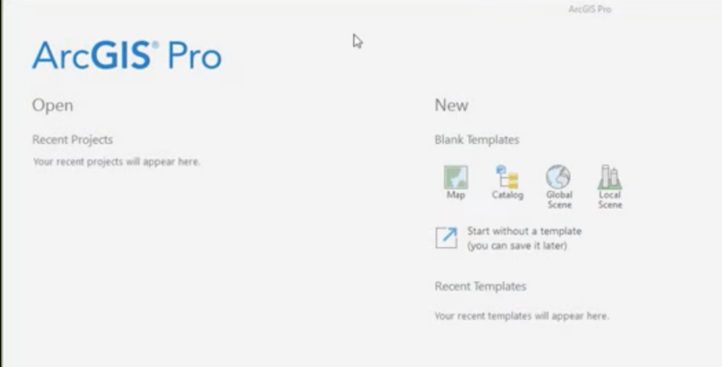
To access the geocoding tools in ArcGIS Pro, simply navigate to the Geocoding tab on the ribbon. Here, you’ll find a range of geocoding tools, including Geocode Addresses, Find Address, and Geocode Table.
Geocoding Addresses
To geocode an address in ArcGIS Pro, you can use the Geocode Addresses tool. Simply input the address you want to geocode and select the appropriate reference data source. You can also batch geocode multiple addresses at once, which is useful when working with large datasets.
Geocoding Place Names
To geocode a place name in ArcGIS Pro, you can use the Find Address tool. Simply input the place name you want to geocode and select the appropriate reference data source. As with geocoding addresses, you can also batch geocode multiple place names at once.
Advanced Geocoding Techniques
ArcGIS Pro also works with more advanced geocoding methods, such as geocoding international addresses, geocoding in reverse, and parsing and standardizing addresses. These techniques can be used to enhance spatial analysis and visualization.
Best Practices and Tips for Geocoding in ArcGIS Pro
To get the best results from geocoding in ArcGIS Pro, you need to choose the right reference data source, improve geocoding accuracy, and optimize geocoding performance. For example, you can improve the accuracy of geocoding by using a reference data source that has geocoding data at the rooftop level.
ArcGIS Geocoding FAQs
What is ArcGIS Pro geocoding and how does it work?
With ArcGIS Pro geocoding, an address or location is turned into geographic coordinates (latitude and longitude) that can be shown on a map. ArcGIS geocoding works by matching the address information provided with a reference dataset that contains known address and location information.
What are the different types of geocoding in ArcGIS Pro?
There are three types of geocoding in ArcGIS: single-field, multi-field, and reverse geocoding. Single-field geocoding involves matching a single address field to a reference dataset. Multi-field geocoding involves matching multiple address fields to a reference dataset. In reverse geocoding, an address or place is turned into a set of known geographic coordinates.
How accurate is ArcGIS Pro geocoding?
The quality of the reference dataset and the completeness and accuracy of the address information affect how accurate ArcGIS geocoding is. In general, ArcGIS geocoding is considered to be highly accurate.
Can ArcGIS Pro geocoder handle international addresses?
Yes, ArcGIS geocoding can handle international addresses. However, the availability and accuracy of reference datasets may vary depending on the country or region.
How can I improve the accuracy of ArcGIS Pro geocoder?
To make ArcGIS Pro geocoding more accurate, you can check and standardize the address information provided, use a high-quality reference dataset, and change the geocoding parameters like match tolerance and search distance.
What are the limitations of ArcGIS Pro geocoding?
The limitations of ArcGIS geocoding include potential errors in the reference dataset, incomplete or inaccurate address information provided and limitations in the software’s ability to recognize certain address formats or non-standardized address data.
How can I geocode a large number of addresses in ArcGIS Pro?
To geocode a large number of addresses in ArcGIS, you can use batch geocoding tools such as the ArcGIS Pro Geocoding Service or create a custom geocoding script.
What is the cost of ArcGIS Pro geocoding?
The cost of ArcGIS geocoding depends on the specific licensing and subscription model used. Some versions of ArcGIS Pro Geocoders may include geocoding services as part of the package, while others may require additional subscriptions or fees to use.
How can I integrate ArcGIS Pro geocoding with other GIS tools?
ArcGIS Pro geocoding can be linked to other GIS tools using standard data exchange formats like Shapefile, File Geodatabase, and KML.
What are some best practices for using ArcGIS Pro geocoding?
Best practices for using ArcGIS geocoding include checking and standardizing address data, using a high-quality reference dataset, adjusting geocoding parameters as needed, and checking the accuracy of the results. It is also important to understand the limitations of the software and reference datasets and to consult with experts if necessary.
Conclusion
ArcGIS Pro’s geocoding capabilities make it a powerful tool for spatial analysis and visualization. By using the geocoding tools in ArcGIS Pro, you can convert addresses and place names into geographic coordinates that can be used to display locations on a map and enhance your spatial analysis and visualization.
You can learn more about ArcGIS pro geocoder on https://pro.arcgis.com/en/pro-app/latest/help/data/geocoding/tutorial-geocode-a-table-of-addresses.htm
For ArcGIS Pro pricing, visit https://www.esri.com/en-us/arcgis/products/arcgis-pro/buy